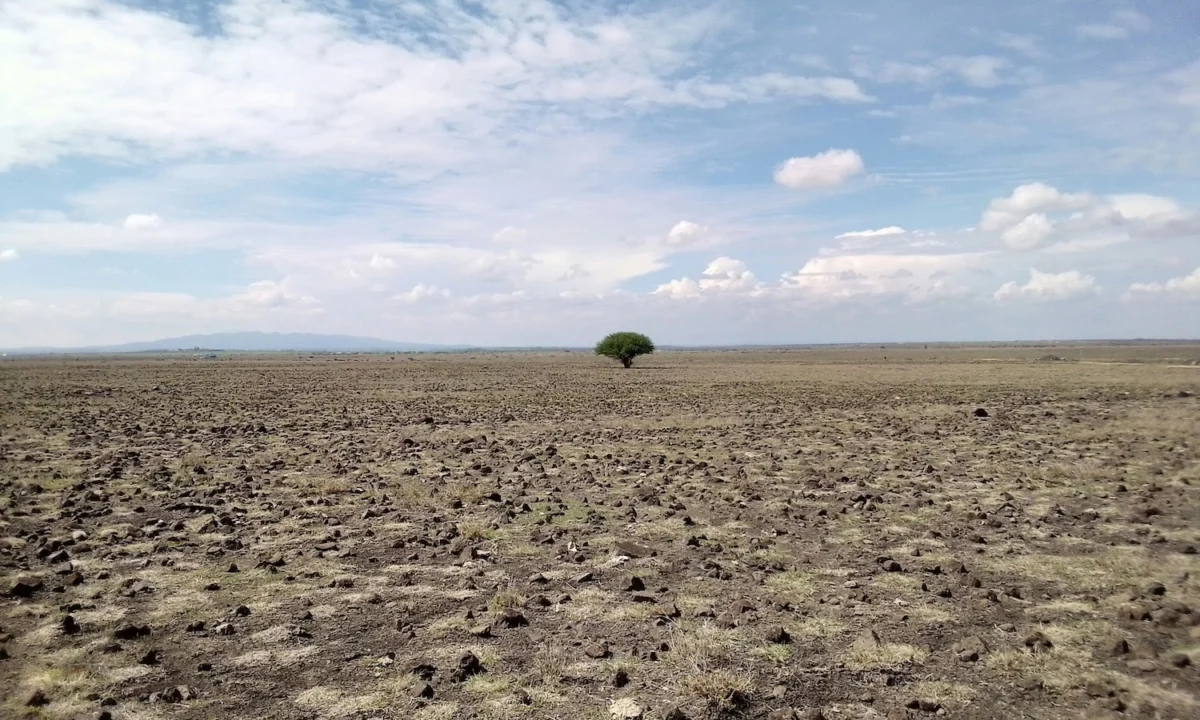


As global temperatures continue to shatter records, the simple act of walking to a bus stop or strolling to a local cafe has transitioned from a mundane activity into a potentially life-threatening endeavor. In major metropolitan areas, the built environment acts as a thermal battery, trapping solar radiation and releasing it long after the sun has set. This phenomenon, known as the urban heat island effect, has turned cities like Phoenix, Las Vegas, and Los Angeles into "blast furnaces" for those on foot.
While modern technology has perfected the art of finding the most efficient route from point A to point B, it has historically ignored the physiological toll of the journey. A new pioneering research project from Arizona State University (ASU) aims to bridge this gap. "Cool Routes," an innovative online tool developed by urban informatics scientists, offers a glimpse into a future where navigation is determined not just by distance or time, but by thermal safety.
Main Facts: The Invisible Danger of the Urban Landscape
The urban heat island (UHI) effect is a well-documented meteorological occurrence where urban areas experience significantly higher temperatures than their rural surroundings. Buildings, sidewalks, and roads—primarily composed of concrete and asphalt—absorb the sun’s energy with high efficiency. This energy is then radiated back at pedestrians, raising localized temperatures far above the official figures reported by weather apps.
The Cool Routes tool, currently piloted on the ASU Tempe campus, represents a paradigm shift in urban navigation. Unlike traditional GPS services that prioritize speed, Cool Routes calculates the "mean radiant temperature" (MRT) along active mobility paths. By synthesizing data on shade from buildings and tree canopies, the tool allows users to select the coolest and shadiest path, even if it adds a few minutes to their commute.
Key features of the Cool Routes initiative include:
- Hyper-local Thermal Mapping: Utilizing LiDAR technology to map shade in extreme detail.
- Real-time Forecasting: Integrating forecasted weather data to simulate thermal conditions at specific times of the day.
- Open-Source Accessibility: The researchers are making the tool open-source, allowing any city globally to implement similar thermal navigation systems.
- Multi-Directional Heat Analysis: Factoring in heat coming from six different directions (north, south, east, west, above, and below) to provide a comprehensive view of human heat load.
Chronology: From Meteorological Theory to Navigational Tool
The development of Cool Routes is the culmination of years of research into urban microclimates. The project grew out of a recognized need to address the "last mile" problem in public transit—the segment of a journey where commuters are most exposed to the elements.
Phase 1: Identifying the Gap (2018–2020)
Researchers at ASU’s SHaDE (Shade Lab) began noticing a disconnect between official weather reports and the actual experience of pedestrians. While a phone might report a temperature of 105°F, a pedestrian standing on an unshaded asphalt sidewalk might be experiencing a heat load equivalent to 130°F or more.
Phase 2: The "MaRTy" Experiments (2021–2022)
To quantify this discrepancy, the team developed "MaRTy," a mobile human-biometeorological cart. This specialized equipment was rolled through the streets of Tempe and Phoenix on typical summer days. MaRTy was designed to mimic the human body’s heat absorption, measuring radiant heat from all directions. These "ground-truthing" missions provided the raw data necessary to build an accurate predictive model.
Phase 3: Integration and Launch (2023–Present)
The researchers combined MaRTy’s findings with high-resolution landscape data from the United States Geological Survey (USGS). By using LiDAR (Light Detection and Ranging), the team could map the exact height and density of every building and tree on the ASU campus. This allowed them to calculate exactly where shade would fall at any given minute of any day. The resulting web-based tool, Cool Routes, was launched as a proof-of-concept for the ASU Tempe campus.
Supporting Data: Why "Air Temperature" is a Deceptive Metric
A central tenet of the Cool Routes project is that traditional thermometers provide an incomplete picture of human heat stress. To understand why, one must look at the components of thermal comfort.
The Role of Mean Radiant Temperature (MRT)
MRT is arguably the most important factor in how humans experience heat outdoors. It accounts for the sum of all shortwave and longwave radiation reaching the body. In an urban canyon, a pedestrian is hit by:
- Direct Radiation: Sunlight hitting the body directly.
- Diffuse Radiation: Sunlight scattered by the atmosphere.
- Reflected Radiation: Sunlight bouncing off glass windows or light-colored walls.
- Terrestrial Radiation: Heat emitted by sun-baked pavement and buildings.
According to Isaac Buo, an urban informatics scientist at ASU and co-leader of the project, moving from a sun-exposed sidewalk into the shade of a dense tree canopy can reduce the heat load on a human body by as much as 50%. This reduction is not necessarily reflected in the air temperature—which may only drop by a degree or two—but the reduction in radiant heat is massive.
The Humidity Factor
Humidity further complicates the safety of urban walking. High atmospheric moisture inhibits the evaporation of sweat, which is the human body’s primary cooling mechanism. When high humidity is combined with the radiant heat of an urban island, 80°F can feel like 100°F, and 100°F can become lethal. Cool Routes seeks to account for these variables to provide a "safety-first" routing option.
Official Responses: Researchers and Urban Planners Weigh In
The leaders of the Cool Routes project view their tool as both a personal safety device and a diagnostic instrument for city governments.
Isaac Buo emphasizes the psychological danger of relying on standard weather apps. "That is what makes being in a hot environment dangerous, because we see lower numbers on our phones," Buo stated. He notes that the tool is designed to encourage "active mobility"—walking and biking—by removing the fear of heat exhaustion.
Ariane Middel, director of ASU’s SHaDE Lab, has long advocated for "thermal justice." She suggests that the data generated by Cool Routes can highlight "thermal inequities" in urban design. Often, lower-income neighborhoods have significantly less tree canopy and more heat-absorbing surfaces than affluent areas. By open-sourcing the tool, Middel and Buo hope to empower community activists and city planners to identify "heat hotspots" that require immediate intervention.
Urban planners have expressed interest in the tool as a way to prioritize infrastructure spending. Rather than planting trees randomly, a city could use Cool Routes data to identify the specific blocks where the most pedestrians are exposed to the highest heat loads. This "precision forestry" could maximize the public health benefits of every dollar spent on urban greening.
Implications: The Future of the "Climate-Resilient City"
The success of the Cool Routes pilot has significant implications for the future of urban life in a warming world.
1. Integration with Major Tech Platforms
The most immediate potential impact lies in the integration of this data into mainstream applications like Google Maps or Apple Maps. Just as these apps now offer "eco-friendly" driving routes or warn users about steep inclines for cyclists, they could soon offer a "coolest path" toggle. For a commuter in a city like Dubai or Phoenix, a detour of two or three minutes is a small price to pay for a journey that is 20 degrees cooler.
2. Public Health and Traffic Reduction
If cities can become more "walkable" through thermal management, the benefits are twofold. First, it improves public health by encouraging exercise and reducing heat-related hospitalizations. Second, it reduces vehicle traffic. Many people drive short distances in the summer not because of the distance, but because the walk is physically unbearable. Cool Routes could provide the confidence needed for residents to leave their cars at home.
3. Redesigning Public Transit
Cool Routes can also revolutionize how we think about "waiting" for transit. The tool can identify bus stops that are currently "heat traps"—locations where there is no shade and the pavement acts as a radiator. By identifying these high-risk nodes, transit authorities can prioritize the installation of high-tech cooling shelters or increased vegetation.
4. Environmental Benefits of "Cooling Infrastructure"
The strategies used to create "Cool Routes"—such as planting trees and creating pocket parks—offer secondary environmental benefits. Trees provide habitats for urban wildlife, reduce the "noise pollution" of busy streets, and act as natural sponges for stormwater, reducing the risk of flash flooding during extreme weather events.
Conclusion: A Tool for a Warming World
As we move deeper into an era of climate instability, the design of our cities must evolve. We can no longer afford to build urban environments that are hostile to the humans who inhabit them. The Cool Routes project at Arizona State University serves as a vital proof-of-concept: by combining high-resolution landscape data with biometeorological science, we can navigate the heat rather than just enduring it.
While the tool is currently limited to a single university campus, its open-source nature ensures that its impact could soon be global. In the near future, the question "What’s the fastest way there?" may be replaced by a more vital one: "What’s the coolest way there?" For the millions of people living in the world’s growing urban heat islands, the answer to that question could be a lifesaver.